Monday, April 18, 2011

Monday Shot: Ready for the Morning

Monday Shot isn't quite espresso, but hopefully this weekly transit picture will help get your week started.

Ready for the Morning
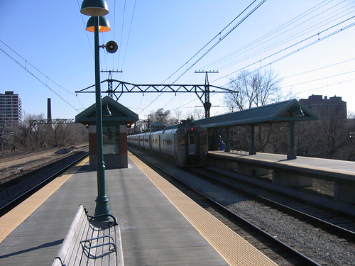
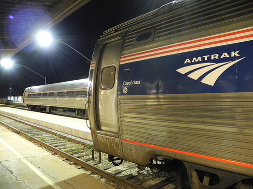
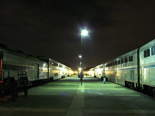
Northeast Regional trains parked at Richmond-Staples Mill Road.


I went down to Florida last week for a vacation and, to quote Johnny Cash, "get some sand in my shoes". And while I couldn't take the Orange Blossom Special, I did manage the Silver Meteor.

I snapped this shot at Richmond's Staples Mill Road station. Since some Northeast Regional trains now start their northbound trips at Richmond, they're kept here overnight.

My photostream

Thursday, April 7, 2011

(Part of a) Mission Accomplished

Those of you who read Track Twenty-Nine know that it's my goal to ride every rail transit system in America.

I've been slowly checking them off my list, and last week, I accomplished a part of the larger mission. Last Monday, when I stepped onto a Cleveland Red Line train at Hopkins Airport, I completed the task of riding every heavy rail system in America - all 13 of them.

Short Turning

Looking back, 13 seems like such a small number. But the systems, of course, are scattered widely across the country.

My trip to Cleveland and St. Louis also netted me two more light rail systems. That means I'm painfully close to completing the "big three" - heavy rail, light rail, and commuter rail.

I only have 5 light rail systems left to ride - Buffalo, Denver, Houston Phoenix, and Salt Lake City. Norfolk is planning to open their Tide LRT this year, though a concrete date has not been set.

In the commuter rail category, I have only 4 systems left - Albuquerque, Austin, Minneapolis, and Salt Lake City. In Texas, the Denton-Dallas "A-Train" commuter rail is also scheduled to open this year.

Wednesday, April 6, 2011

Gateway Pictures

I haven't had a chance to write about my trip to St. Louis, yet. I hope to do that soon. In the meantime, enjoy some of the pictures I took there.

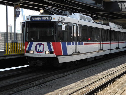
3012 to Fairview
Eastbound MetroLink at East Riverfront.

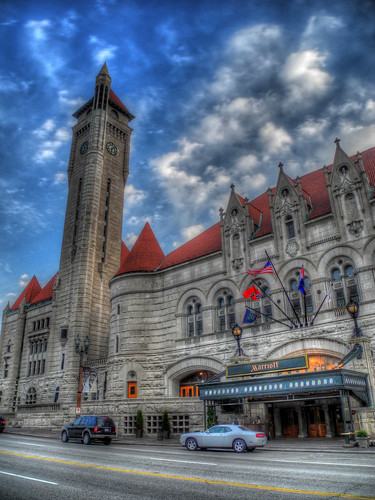
Missouri Sky
Union Station.

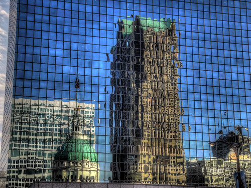
Glass Ripples
Old Courthouse, Downtown buildings.

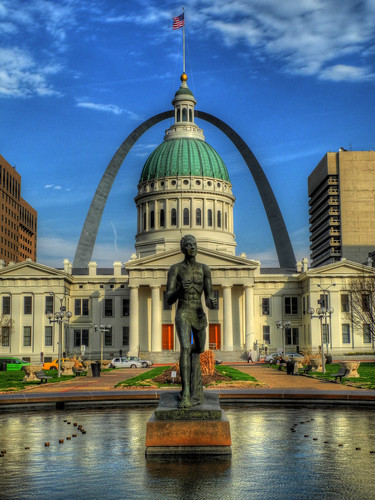
All Lined Up
Old Courthouse, Gateway Arch.

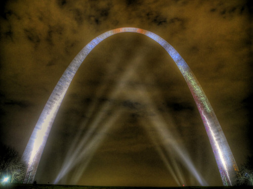
Bathed in Spotlights
Gateway Arch

Disagreeing With Yourself

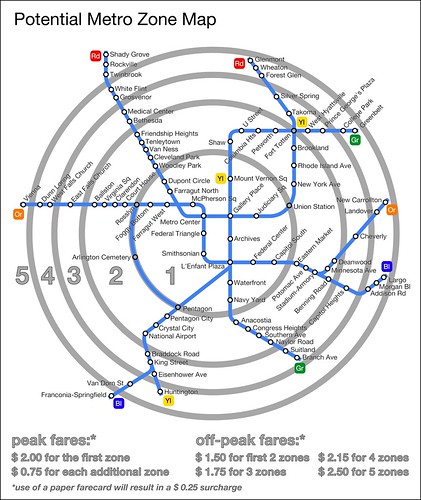
Last week, Greater Greater Washington published a post that I coauthored with Michael Perkins exploring the idea of a zone-based fare system for the Washington Metro.

Potential Metro Zone Structure

And since it's publication, I've found myself in an interesting predicament: defending an idea with which I disagree.

Neither Michael or I think that the changeover from graduated fares to a zone-based system is feasible or ideal, but in the past, many GGW commenters had called for just that.

But how do you argue in a concrete way against something that doesn't exist?

Michael and I decided to create a hypothetical fare-zone system for Metro to show people how such a system could work. We decided that if any of this were to be taken seriously, certain criteria would need to be met.

For starters, a zone system couldn't result in a net loss of revenue for Metro. So we made every effort to make our proposal revenue neutral for the agency. In order to do that, we had to get data on fare payment methods from Metro (we already had point-to-point ridership data).

Additionally, we couldn't raise fares above Metro's current fare cap (which is $5.45). We also tried to keep lower-end fares as low as possible in order to encourage equity.

Michael built a mathematical model to measure the revenue implications of different alternatives. Together we worked out where the zone breaks would be, mainly basing it on the existing "composite distance", but sometimes shifting stations where it made logical sense.

After we came up with an alternative we thought was feasible, I created a map.

We then composed a post discussing the advantages and drawbacks of a zone fare system, coming down in the end against it. Rehashing our thoughts on the matter, though, is not the point of this post.

The real impetus is the comment thread that came after our post. Michael and I found ourselves being forced to defend our zone system more than discuss it on the merits. The difficult part is that neither of us support it.

I had hoped that the discussion would have centered on things like equity, complexity, and readability. But more often than not, it seemed like people were just arguing about where the boundaries should be located, how many zones there should be, and what we should charge for it.

After a few hours of defending the zone system I helped design, I got a little short with the commenters, resulting in accusations that our analysis was essentially designed to fail, which was not the case.

From "movement":

So let's take an idea we think is a bad idea, then present an idiotic implementation which proves that it is a bad idea. Come on. You're not even trying!

For those of you following along at home, "movement's" proposal is to make the fare zone boundaries (1) DC, (2) Inside the Beltway, and (3) Everywhere else. Which of course would mean a trip from Shady Grove to Grosvenor would end up costing less than a trip from Silver Spring one stop to Takoma. (And a 2-stop trip from Forest Glen to Takoma would be even more expensive).

At any rate, I was disappointed at the conversation that resulted from this thought experiment. Not all the replies were bad, in fact, some were quite insightful. But by and large, I feel like most people completely missed the point. For example (from Brian Cloverdale):

Let's fix something that isn't broke.

Thanks so much fellows. You've just increased my fares astronomically while no doubt savings bundles for yourself.

When should I pay $2.75 to go from Eastern Market to Dupont Circle and the same $2.75 to go from Eastern Market to Capitol South??????????????

Exactly. Brian hits upon why both Michael and I think zones are inferior to graduated fare systems. But he clearly thinks we're making a serious attempt to change it to zones, instead of trying to inform our argument about why not to change to zones.

In the end, while I enjoyed working on the post, I'm not sure that our post (or the fare zone model) moved the conversation forward. And that's a bit of a disappointment.

Thursday, March 31, 2011

Oh Hi, Ohio

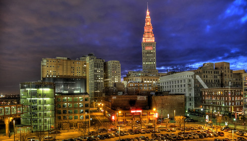
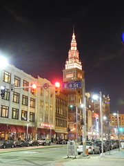
Night SpireLast week, I had the opportunity to spend a full day in Cleveland, Ohio. And I have to admit that I was pleasantly surprised. As it turns out, Cleveland is a pretty nice place.

I'd only ever passed through Cleveland on Amtrak's Capitol Limited in the middle of the night. So I was unsure of what to expect, but my perceptions certainly focused on Cleveland as a rust belt city with some pretty serious environmental problems.

What I found was a city (and a region) facing a severe economic crisis, but one whose downtown and core neighborhoods cling to vibrancy. I was impressed with the urban form of Downtown, a district which has seen better days, but whose architecture and streetscape has fared better than many other cities I've visited.

My trip was short, constrained by the amount of time I had off and the exigencies of cheap airfare. I only had time to visit a few neighborhoods: Shaker Square, Larchmere, Ohio City, the Flats, the Warehouse District, and Downtown.

The first neighborhood I explored was Shaker Square. The neighborhood is centered on the Shaker Square shopping center, the second planned shopping center in the United States. The center comprises four buildings fronting directly onto the square. A light rail line cuts the square in half with its east-west axis. Within the square is a green space.
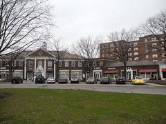
"Shaker Shops"

The surrounding neighborhood was built as a planned streetcar suburb. The immediate vicinity is characterized by low- and mid-rise apartment buildings, which helps to build transit ridership and places residents within walking distance of the shops.

But the density falls off rapidly as one walks away from the transit station. Within a block or so, are beautiful single-family and two-family homes on tree-lined streets. If I were to live in Cleveland, this would definitely be a place I'd consider.
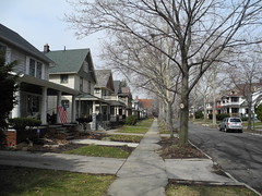
Larchmere Street


After seeing Shaker Square and a little of Larchmere, I headed for Ohio City. Just across the Cuyahoga River from Downtown, Ohio City is home to the spectacular West Side Market. Unfortunately, I got there a few minutes after the market closed, so I wasn't able to see the inside. But just seeing the exterior of the building was worth the trip.
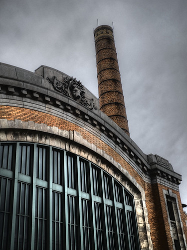
"Market Stack" Ohio City is one of Cleveland's older neighborhoods. It didn't appear to be in quite as good condition as Shaker Square, but had plenty of activity and a good street wall along the major arteries. I wish I'd had more time to explore, but with the clock ticking, I decided to head for the Flats.

Named for their position on the banks of the Cuyahoga River, the Flats lie below the bluffs where Downtown and Ohio City are located. The lack of easily accessible bridges over the river made it impossible for me to get over to the west bank, which looked to have more going on. As it was, the east bank was almost deserted. I enjoyed the views (and photo opportunities) of the river and high bridges, but with no streetlife, I decided to head back up the bluff to the Warehouse District.
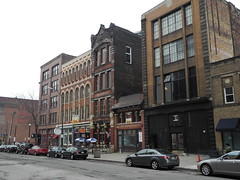
"Warehouse District"

Since the 1990s, the Warehouse District has become the new entertainment district, supplanting the Flats. Perhaps the district is livelier on weekends; it certainly doesn't have the crowds that Washington's Gallery Place has. But there were plenty of loft-dwellers out and about. I stopped for a cup of coffee before continuing my exploration.

Washington doesn't have an analogue to the Warehouse District because it was never an industrial city, as Cleveland was in the 1900s. The district's old building stock has made for great reuse as apartments and entertainment venues.

I headed for the lakefront, but I was stymied by the lack of clear paths down the bluff. My line of sight was blocked by an elevated freeway, and even if I'd tried, walking down West 9th Street, I would have landed literally in the middle of nowhere, as the area hasn't redeveloped yet. Construction of the new convention center blocked other paths farther east. By the time I reached East 9th Street, which would have taken me down to the lakefront, I was ready to head back toward the center of Downtown.
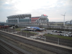
"Eriefront"

If I could change one thing in Downtown Cleveland, I would make it easier for people to access the lakefront. Downtown Cleveland seems more disconnected from its waterfront than any city I can remember visiting.

As I headed back to my hotel, I discovered elements of the City Beautiful movement. The Civic Center area of Downtown is built around a mall and is surrounded by government buildings, almost all in the Neoclassical style - major hallmarks of the City Beautiful. The City Beautiful movement underlies the principles of the McMillian Plan, which is responsible for the Washington we know today.

As it turns out, the Cleveland Mall and Civic Center area bear the fingerprints of Daniel Burnham, designer of Washington's Union Station. The Civic Center is a very complete example of the City Beautiful movement, and I was impressed.

Heading over to Public Square, the symbolic heart of Cleveland, I was surprised at the vibrancy of Downtown. Given the state of the economy, I expected Cleveland to have a lot more vacancy downtown. But the major streets had plenty of restaurants and shops. There were even a good deal of pedestrians out after 6pm, generally a pretty dead time for central business districts.
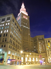
Terminal Dusk

Of particular note was the Euclid Avenue corridor. This is Cleveland's main drag, and it showed. A streetscape/transit project was completed just a few years ago and that made the street feel cared-for. There were lots of clubs and restaurants. Just off Euclid, East 4th Street has been converted to a pedestrians-only area lined with sidewalk cafes. On that Monday night it was proving popular with fans headed to some nearby sporting event.
E 6 St

Farther out Euclid, Playhouse Square offers many opportunities to see a show. In fact, it's the second largest theater complex in the United States (after New York's Lincoln Center).

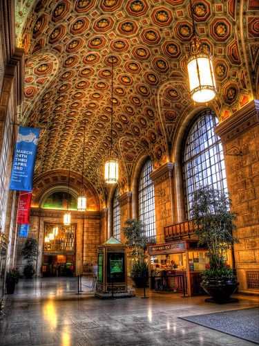
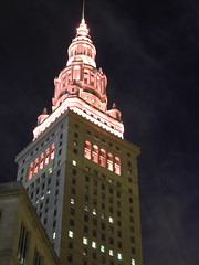
Back at Public Square, one of Cleveland's most well-known landmarks, Terminal Tower, stands watch over her home. It sits at the hub of the city's transportation network and for many years, was one of the world's tallest buildings. Built in the Beaux-Arts style in 1930, it was not only a skyscraper, but also Cleveland's Union Terminal.

The atrium to the building, which is open to the public, was meant to be the grand foyer to Cleveland for those arriving by train. And in appropriate placement, the doors open out onto Public Square. While the atrium is not as large as the grand halls of stations in Chicago, Washington, or Los Angeles, it is one of the most ornate and breathtaking spaces of all the great train stations I've visited. It's a real shame that no trains (except for rapid transit) call here.

Cleveland is truly a city of hidden gems. One day is not nearly enough time to devote to this great city. I wish I'd had more time, but I suppose it just gives me an excuse to go back. If you ever have the chance to visit Cleveland, I highly recommend it.
Tuesday, March 29, 2011

Cleveland Rocks

Last week, I had the opportunity to spend a day in Cleveland and I saw as much of the city as I could.

I'll write more about it later, but I thought I'd post a few of my favorite pictures from the adventure.

City Vista

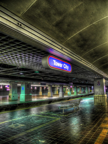
Cleveland Union Terminal

Under Bridge

Track 10 West

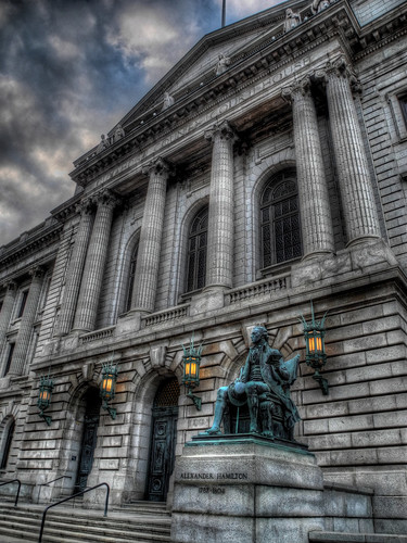
Hamilton Sits


You can view all my Cleveland pictures at Flickr.

Friday, February 11, 2011

Photo Friday: Skylit

Photo Friday is a series showcasing a favorite photo of mine. Enjoy!

Skylit
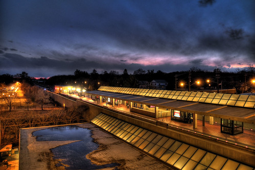
Sunset behind the College Park
Metro station, enhanced by HDR.


My photostream

Monday, February 7, 2011

Monday Shot: 3rd Street

Monday Shot isn't quite espresso, but hopefully this weekly transit picture will help get your week started.

Lynx 3rd Street
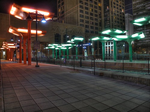
The 3rd Street/Convention Center stop on Charlotte's Lynx Light Rail.


I had the pleasure of traveling to Charlotte last week for a zoning reform workshop. Taking the train down from Washington put me over 10,000 lifetime miles on Amtrak.

This shot is an HDR image taken from the northbound platform. It combines 5 shots of different exposure values to make a complex final product.

Tuesday, February 1, 2011

Ten Thousand Miles

If my train is on time, when this post goes live, I'll have just passed 10,000 lifetime miles on Amtrak. And I've enjoyed every single one.

AMTK 145 in HDR


I first boarded Amtrak in May 2005. In the almost six years since, I've ridden our national railroad in 29 states and on 13 routes.

My favorite was definitely the Empire Builder, which winds through Glacier National Park and across the high plains. I think the Cascades has the best rolling stock, and of course, you can't beat the Acela's speed. At least not on this side of the Atlantic. Or the Pacific.

But I've enjoyed all of my trips by train. And I hope my next ten thousand don't take as long to accrue as my first ten thousand.

Taking the train is the nicest way to travel. It's not always the quickest, but when one has time, getting there is a part of the journey worth enjoying.

The image for this post is my first-ever attempt at an HDR photo (the original is here). It's a picture of Amtrak's newly repainted locomotive 145, which made it's first revenue trip on Monday. It's been repainted into a retro Phase III scheme to celebrate the 40th anniversary of our national rail system.

Tuesday, December 28, 2010

Making a List, Checking it Twice

Yesterday, I recounted the 13 rail systems I added to my "list" this year.

Over the past few years, I've been trying to ride each rail transit system in the United States. And I've made quite a bit of headway, too.


Below is the list of American systems I've ridden (in bold). I've organized them by mode. Within each mode, the year I first rode the mode is in parentheses. Non-bolded, red entries are systems I have not yet ridden.

The list groups lines within the same modal category operated by the same transit operator together. For example, I consider the Staten Island Railroad to be a part of the New York City subway (heavy rail).

Altogether, I've ridden 12 of the 13 (92%) American heavy rail systems, 18 of 25 (72%) of light rail systems, and 19 of 23 (83%) of commuter rail systems. Additionally, I've ridden 5 people mover/miscellaneous systems, all 3 modern vehicle streetcar systems, and 5 heritage/original streetcar systems.

Heavy Rail
  1. Atlanta - MARTA (circa 1993)
  2. Washington - Metro (1994)
  3. Boston - "T" (2002)
  4. San Francisco - BART (2006)
  5. Chicago - "L" (2007)
  6. Baltimore - Metro Subway (2007)
  7. Philadelphia - BSS/MFSE (2007)
  8. Philadelphia - PATCO (2007)
  9. Miami - Metrorail (2007)
  10. NY/NJ - PATH (2008)
  11. New York - NYC Subway (2008)
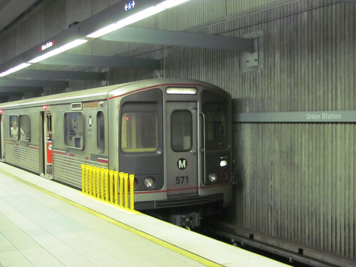
  12. Los Angeles - Metro (2010)
  13. Cleveland - Rapid (not yet ridden)
Light Rail
  1. Pittsburgh - "T" (2002)
  2. Boston - "T" (2002)
  3. Dallas - DART (2005)
  4. Portland - MAX (2006)
  5. San Francisco - Muni Metro (2006)
  6. Baltimore - Light Rail (2007)
  7. Philadelphia - light rail (2007)
  8. Camden - River Line (2008)
  9. Newark - Light Rail/City Subway (2008)
  10. San Jose - Light Rail (2008)
  11. Sacramento - Light Rail (2008)
  12. Minneapolis - Hiawatha Line (2008)
  13. Charlotte - Lynx Light Rail (2008)
  14. Jersey City - Hudson/Bergen LRT (2009)
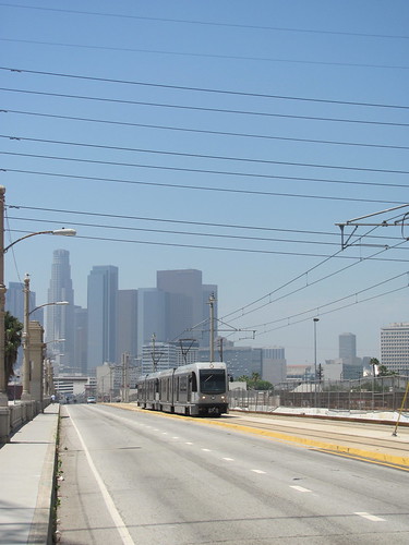
  15. Los Angeles - Metro (2010)
  16. Oceanside - Sprinter (2010)
  17. San Diego - Trolley (2010)
  18. Seattle - Link Light Rail (2010)
  19. Buffalo - Metrorail (not yet ridden)
  20. Cleveland - light rail (not yet ridden)
  21. Denver - TheRide (not yet ridden)
  22. Houston - MetroRail (not yet ridden)
  23. Phoenix - MetroRail (not yet ridden)
  24. Salt Lake City - TRAX (not yet ridden)
  25. St. Louis - MetroLink (not yet ridden)
  26. Norfolk - The Tide (opens 2011)
Commuter Rail
  1. Washington - MARC (1994)
  2. Dallas - Trinity Railway Express (2005)
  3. Chicago - Metra (2006)
  4. Philadelphia - SEPTA Regional Rail (2007)
  5. Miami - Tri-Rail (2007)
  6. Washington - Virginia Railway Express (2008)
  7. New Jersey - NJT commuter rail (2008)
  8. San Francisco - Caltrain (2008)
  9. San Jose - Altamont Commuter Express (2008)
  10. Nashville - Music City Star (2009)
  11. New York - Metro-North (2009)
  12. New York - Long Island Railroad (2009)
  13. New Haven - Shore Line East (2009)
  14. Boston - MBTA commuter rail (2009)
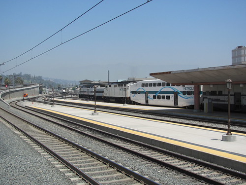
  15. Los Angeles - Metrolink (2010)
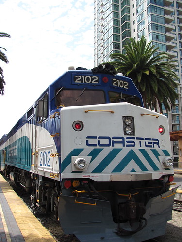
  16. San Diego - Coaster (2010)
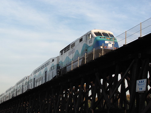
  17. Seattle - Sounder (2010)
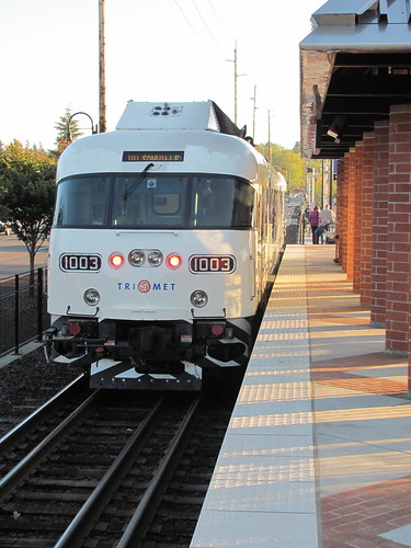
  18. Portland - Westside Express Service (2010)
  19. Chicago - NICTD South Shore Line (2010)
  20. Austin - Capital MetroRail (not yet ridden)
  21. Salt Lake City - Frontrunner (not yet ridden)
  22. Minneapolis - Northstar (not yet ridden)
  23. Albuquerque - Railrunner (not yet ridden)
  24. Dallas - A-Train (opens 2011)
AGT/Miscellaneous
As a general rule, I don't count fully self-contained people movers toward this list, although I do ride many of them. For instance, I've lost count of the times I've ridden the Atlanta Airport APM, but I don't count it, since it is entirely within the airport. This list is probably missing several which I have not ridden and am either unaware of or forgot to mention.
  1. Miami - Metromover (2oo7)
  2. Philadelphia - Norristown High-Speed Line (2008)
  3. New York - AirTrain JFK (2009)
  4. Morgantown - WVU PRT (2010)
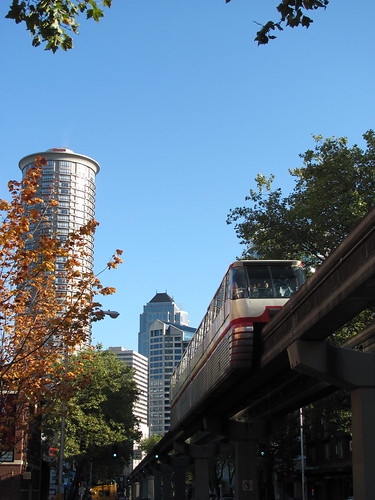
  5. Seattle - Seattle Center Monorail (2010)
  6. AirTrain Newark (not yet ridden)
  7. Detroit - Peoplemover (not yet ridden)
  8. Las Colinas (Dallas) - PRT (not yet ridden)
  9. Las Vegas - Monorail (not yet ridden)
  10. Jacksonville - Skyway (not yet ridden) added, thanks IMGoph
Streetcar
I've further sub-categorized streetcars into modern, heritage, and original. Heritage includes lines that use faux-heritage cars, even ones built specifically for the line. Original lines refer to lines that never closed permanently but were not modernized into LRT.

I don't count trolley museums or seasonal/part-time services.
  1. Dallas - McKinney Ave. Trolley (2005) heritage
  2. Portland - Portland Streetcar (2006) modern
  3. San Francisco - Cable Cars (2006) cable car
  4. San Francisco - F Line (2006) heritage
  5. Charlotte - Charlotte Trolley (2009) heritage
  6. Boston - Mattapan High-Speed Line (2009) original
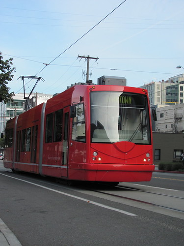
  7. Seattle - Seattle Streetcar (2010) modern
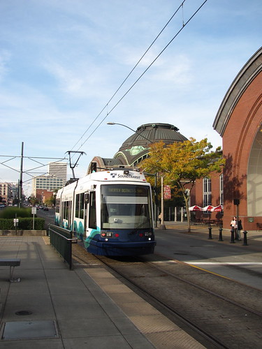
  8. Tacoma - Tacoma Link (2010) modern
  9. Kenosha - Kenosha Streetcars [heritage] (not yet ridden)
  10. Little Rock - River Rail Streetcar [heritage] (not yet ridden)
  11. Memphis - MATA Trolley [heritage] (not yet ridden)
  12. New Orleans - streetcars [original] (not yet ridden)
  13. Philadelphia - Girard Line [original] (not yet ridden)
  14. Savannah - River Street Streetcar [original] (not yet ridden)
  15. Tampa - TECO Line Streetcar [heritage] (not yet ridden)
I've made a lot of progress since I first boarded MARTA somewhere around age 8. I didn't really start trying to ride them all until about 2006, or so.

Anyway, if it's in red (or blue), I intend to ride it one day. I'm hoping to polish off Cleveland (and heavy rail) in 2011, along with a few others.

And of course, as I travel, I'll re-ride many of those I've already checked off. After all, it's the journey that matters, not the destination.

Sunday, December 26, 2010

Riding New Rails

For the past several years, I have been working on a long-term goal: to ride every rail transit system in the United States. I've been doing much better than I ever could have anticipated when I first started this a few years ago, but there's still plenty left to do.

This year, I added 13 rail systems to my list.

In March, I traveled to Morgantown, WV to ride their Personal Rapid Transit system (also called "Group Rapid Transit). It was quite enlightening. And the PRT runs on rubber tires, so "rail" might not be technically correct, but I think it's appropriate, given the characteristics of the system.

I traveled to Southern California, in August. While there, I added several new systems:
Los Angeles light rail,

Los Angeles heavy rail,

Metrolink commuter rail,

Sprinter diesel light rail,

Coaster commuter rail,

San Diego light rail.

In October, I traveled to Railvolution (my 4th) in Portland. I spent the weekend beforehand in Seattle and Tacoma, where I rode quite a few new systems.

Seattle's Link light rail,

The Seattle Center Monorail,

The Seattle Streetcar,

Sounder commuter rail,

Tacoma Link streetcar.

I continued on to Portland, where I added 1 new system, the Westside Express Service, a commuter rail line.

After the conference, I took Amtrak's Empire Builder to Chicago, where I spent a few days. While there, I added one new rail system, Indiana's South Shore Line commuter rail.

Next time, I'll look at all the American rail systems I've ridden.

Monday, December 13, 2010

Monday Shot: Liberty Limited

Monday Shot isn't quite espresso, but hopefully this weekly transit picture will help get your week started.

Okay, so technically this picture is not of transit, but I didn't want to wait until Friday to post it. Besides, I did shoot it from a transit platform.


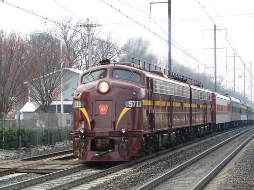
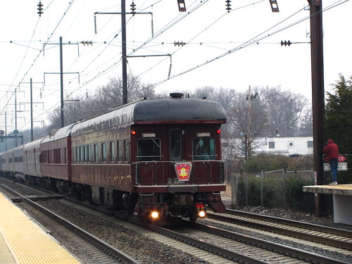
I went out early on Saturday to catch a glimpse of the Liberty Limited. The Liberty is a train made up of privately owned locomotives and railcars and is used to transport wounded veterans from Washington to Philadelphia for the Army-Navy game.

The two locomotives in the lead are owned by a man named Bennett Levin, who also owns the platform observation car at the rear of the train. Both locomotives are E8As, and are painted in the tuscan red of the Pennsylvania Railroad.

It was quite a thrill to see this train made up of cars from the golden age of railroading. And the streamlined diesels were quite a sight to see as well, roaring up the Northeast Corridor.


I was also very excited to see for the first time in my life PRR 120, the observation car at the rear of the train. It was one of the first privately owned railcars in the United States, and helped to start that trend. Private railcar ownership has helped to preserve many of these cars, which otherwise would have ended up in museums or the scrap heap.

Car 120 carried the body of Robert F. Kennedy from New York to Washington to be buried at Arlington in 1968, when tens of thousands lined the tracks to say their final goodbyes.

This trip of #120 was a bit quieter. At the Seabrook MARC station, where I took these photos, only a few railfans looked on. But the cold morning was well worth the excitement.

Friday, December 3, 2010

Photo Friday: Midnight Meeting

Photo Friday is a series showcasing a favorite photo of mine. Enjoy!

On my recent trip from Portland to Chicago, I
snapped this picture of the east- and westbound
Empire Builders meeting at Spokane, Washington.

My photostream

Monday, November 15, 2010

Monday Shot: Sun Flare

Monday Shot isn't quite espresso, but hopefully this weekly transit picture will help get your week started.

I haven't run a Monday Shot in a while, but I have a lot of new transit pictures, so I might just have to start it up again.

Sun Flare
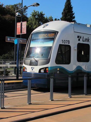
The sun reflects off of a southbound Link light
rail train at Seattle's Columbia City station.


My photostream

Monday, October 11, 2010

Seattle, here I come

I'll be in Seattle this weekend, mainly to try out the new additions to the transit network: the Link LRT and the South Lake Union Trolley.

If I still have any readers in the area, I would not be opposed to grabbing a cup of coffee. And I'd also appreciate pointers on any must-sees in transit, cycling, or pedestrian design/infrastructure or good urban planning projects.

I have been to Seattle before. In fact, I strongly considered moving there back in 2007, but I ended up in DC instead. It's a great town, and I'm glad to have the opportunity to visit again.

The last time I was there, I missed out on a lot. The Bus Tunnel was closed for conversion to Link, the Monorail was closed because of the collision, and neither Link nor the Trolley were open. And I didn't have time to ride Sounder.

But I plan on taking care of all of those things on this trip. Anything else I should be sure not to miss?