Over the past few years, I've been trying to ride each rail transit system in the United States. And I've made quite a bit of headway, too.
Below is the list of American systems I've ridden (in bold). I've organized them by mode. Within each mode, the year I first rode the mode is in parentheses. Non-bolded, red entries are systems I have not yet ridden.
The list groups lines within the same modal category operated by the same transit operator together. For example, I consider the Staten Island Railroad to be a part of the New York City subway (heavy rail).
Altogether, I've ridden 12 of the 13 (92%) American heavy rail systems, 18 of 25 (72%) of light rail systems, and 19 of 23 (83%) of commuter rail systems. Additionally, I've ridden 5 people mover/miscellaneous systems, all 3 modern vehicle streetcar systems, and 5 heritage/original streetcar systems.
Altogether, I've ridden 12 of the 13 (92%) American heavy rail systems, 18 of 25 (72%) of light rail systems, and 19 of 23 (83%) of commuter rail systems. Additionally, I've ridden 5 people mover/miscellaneous systems, all 3 modern vehicle streetcar systems, and 5 heritage/original streetcar systems.
Heavy Rail
- Atlanta - MARTA (circa 1993)
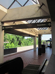
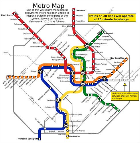
- Washington - Metro (1994)
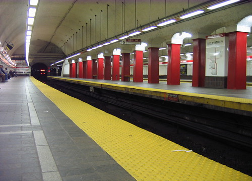
- Boston - "T" (2002)
- San Francisco - BART (2006)
- Chicago - "L" (2007)
- Baltimore - Metro Subway (2007)
- Philadelphia - BSS/MFSE (2007)
- Philadelphia - PATCO (2007)
- Miami - Metrorail (2007)
- NY/NJ - PATH (2008)
- New York - NYC Subway (2008)
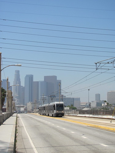
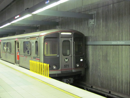
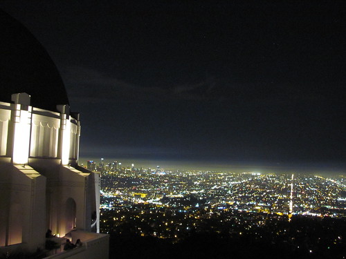
- Los Angeles - Metro (2010)
- Cleveland - Rapid (not yet ridden)
Light Rail
- Pittsburgh - "T" (2002)
- Boston - "T" (2002)
- Dallas - DART (2005)
- Portland - MAX (2006)
- San Francisco - Muni Metro (2006)
- Baltimore - Light Rail (2007)
- Philadelphia - light rail (2007)
- Camden - River Line (2008)
- Newark - Light Rail/City Subway (2008)
- San Jose - Light Rail (2008)
- Sacramento - Light Rail (2008)
- Minneapolis - Hiawatha Line (2008)
- Charlotte - Lynx Light Rail (2008)
- Jersey City - Hudson/Bergen LRT (2009)
- Los Angeles - Metro (2010)
- Oceanside - Sprinter (2010)
- San Diego - Trolley (2010)
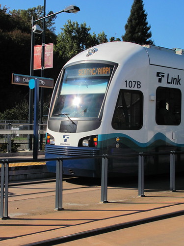
- Seattle - Link Light Rail (2010)
- Buffalo - Metrorail (not yet ridden)
- Cleveland - light rail (not yet ridden)
- Denver - TheRide (not yet ridden)
- Houston - MetroRail (not yet ridden)
- Phoenix - MetroRail (not yet ridden)
- Salt Lake City - TRAX (not yet ridden)
- St. Louis - MetroLink (not yet ridden)
- Norfolk - The Tide (opens 2011)
Commuter Rail
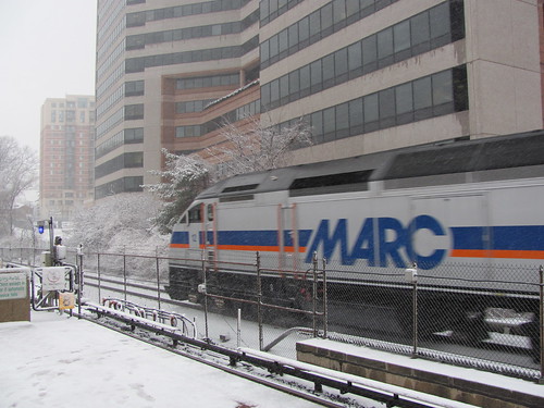
- Washington - MARC (1994)
- Dallas - Trinity Railway Express (2005)
- Chicago - Metra (2006)
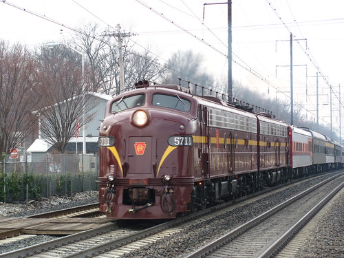
- Philadelphia - SEPTA Regional Rail (2007)
- Miami - Tri-Rail (2007)
- Washington - Virginia Railway Express (2008)
- New Jersey - NJT commuter rail (2008)
- San Francisco - Caltrain (2008)
- San Jose - Altamont Commuter Express (2008)
- Nashville - Music City Star (2009)
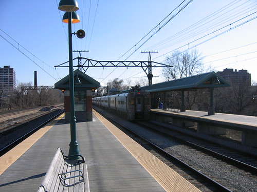
- New York - Metro-North (2009)
- New York - Long Island Railroad (2009)
- New Haven - Shore Line East (2009)
- Boston - MBTA commuter rail (2009)
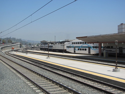
- Los Angeles - Metrolink (2010)
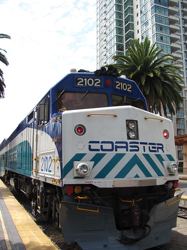
- San Diego - Coaster (2010)
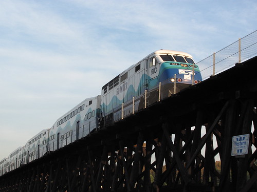
- Seattle - Sounder (2010)
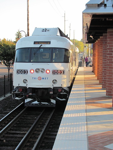
- Portland - Westside Express Service (2010)
- Chicago - NICTD South Shore Line (2010)
- Austin - Capital MetroRail (not yet ridden)
- Salt Lake City - Frontrunner (not yet ridden)
- Minneapolis - Northstar (not yet ridden)
- Albuquerque - Railrunner (not yet ridden)
- Dallas - A-Train (opens 2011)
AGT/Miscellaneous
As a general rule, I don't count fully self-contained people movers toward this list, although I do ride many of them. For instance, I've lost count of the times I've ridden the Atlanta Airport APM, but I don't count it, since it is entirely within the airport. This list is probably missing several which I have not ridden and am either unaware of or forgot to mention.
- Miami - Metromover (2oo7)
- Philadelphia - Norristown High-Speed Line (2008)
- New York - AirTrain JFK (2009)
- Morgantown - WVU PRT (2010)
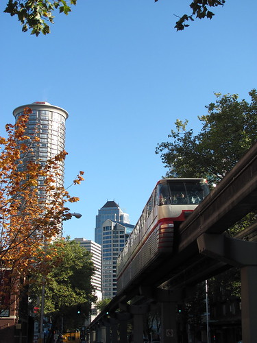
- Seattle - Seattle Center Monorail (2010)
- AirTrain Newark (not yet ridden)
- Detroit - Peoplemover (not yet ridden)
- Las Colinas (Dallas) - PRT (not yet ridden)
- Las Vegas - Monorail (not yet ridden)
- Jacksonville - Skyway (not yet ridden) added, thanks IMGoph
Streetcar
I've further sub-categorized streetcars into modern, heritage, and original. Heritage includes lines that use faux-heritage cars, even ones built specifically for the line. Original lines refer to lines that never closed permanently but were not modernized into LRT.
I don't count trolley museums or seasonal/part-time services.
- Dallas - McKinney Ave. Trolley (2005) heritage
- Portland - Portland Streetcar (2006) modern
- San Francisco - Cable Cars (2006) cable car
- San Francisco - F Line (2006) heritage
- Charlotte - Charlotte Trolley (2009) heritage
- Boston - Mattapan High-Speed Line (2009) original
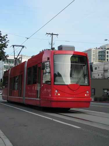
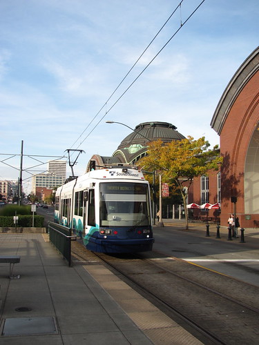
- Seattle - Seattle Streetcar (2010) modern
- Tacoma - Tacoma Link (2010) modern
- Kenosha - Kenosha Streetcars [heritage] (not yet ridden)
- Little Rock - River Rail Streetcar [heritage] (not yet ridden)
- Memphis - MATA Trolley [heritage] (not yet ridden)
- New Orleans - streetcars [original] (not yet ridden)
- Philadelphia - Girard Line [original] (not yet ridden)
- Savannah - River Street Streetcar [original] (not yet ridden)
- Tampa - TECO Line Streetcar [heritage] (not yet ridden)
I've made a lot of progress since I first boarded MARTA somewhere around age 8. I didn't really start trying to ride them all until about 2006, or so.
Anyway, if it's in red (or blue), I intend to ride it one day. I'm hoping to polish off Cleveland (and heavy rail) in 2011, along with a few others.
And of course, as I travel, I'll re-ride many of those I've already checked off. After all, it's the journey that matters, not the destination.


